Yep. 

related – coffee mug
Contents


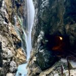
This historic tunnel, which was inaugurated on October 3, starts from Solang Valley near Manali and ends near the grand Sissu waterfall in Lahaul.
Till now, not many travellers knew about the Sissu waterfall. But now, Atal Tunnel puts it on the … map.
Similarly, it brings the spotlight on Lahaul and underlines how little information is available about this region.
“You have not seen a setting as beautiful as Lahaul. It is very different from the stark beauty of Spiti. …
Contents
The opening of Atal Tunnel will finally allow trekkers to venture into the uncharted terrain of Lahaul. Earlier, bad roads and long travel time prevented trekkers from exploring this scenic region. …


Cam Honan posted the best summing up I’ve read:
1. Why choose trail running shoes over boots for three-season conditions?
2. When are boots preferable to trail runners?
3. “Wearing Your Fears” – Examining the commonly-held belief that boots provide a greater degree of protection for your ankles than low-cut footwear while backpacking.
4. “A Piece in the Puzzle“ – Why your choice in footwear should be considered an integral piece of an overall lightweight backpacking strategy.
5. A list of 15 of the top trail running shoes in today’s market.
Click through for Cam’s summary.
THE HIKING LIFE – Trail Runners Vs Hiking Boots: A 30 Year Perspective
I’ve tried most everything over the years, ending up with something in-between runners and boots – approach shoes — most often Merrell Moab2 Ventilators. Normally without a Gortex layer.
I go with Merrell as they are available online in very wide sizes. I have bunions.
I go with trail shoes as I like the durability.
Cam finds he can get about 800 mi (1,287 km) out of a good approach shoe; as opposed to trail runners which normally need to be retired after 500 mi (805 km).

I’m loath to suffer stubbed toes so prefer footwear with good protection up front.
Like Cam, I wear low-cut footwear as my ankles are healthy and I’m agile enough not to bash into rocks.
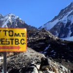
For something VERY rugged — K2 Base Camp, for example — I would take high tops or boots.
The downside of approach shoes is weight. And the smell.
After a hike where my shoes get wet I need bake them in the sun. For days.
related – Cam’s more comprehensive post – Hiking Footwear Guide

Trump and the Republican Party have been ruthless for 4-years selling out public land to rich supporters and corporations. The Environmental Protection Agency has weakened regulations.
For example, a Judge removed Trump public lands chief —a former oil industry attorney — who’d been working in that position illegally.
Patagonia has just released The Fight for America’s Public Lands.
A feature-length documentary about America’s system of public lands and the fight to protect them.
Despite support from voters across the political spectrum, our public lands face unprecedented threats from extractive industries and the politicians in their pockets.
Part love letter, part political exposé, Public Trust investigates how we arrived at this precarious moment through three heated conflicts—a national monument in the Utah desert, a mine in the Boundary Waters and oil drilling in the Arctic National Wildlife Refuge—and makes a case for their continued protection.
Take action to protect our public lands.
Text DEFEND to 71333.
Learn more about ‘Public Trust’ here.
Click PLAY or watch the trailer on YouTube.
OR Click PLAY or watch the entire documentary on YouTube.

A tradition started by Greg Chartier:
If you can’t do 1 chin-up carrying your backpack, you MUST remove weight.


For the first time in a long hiking career I’ve repaired a sleeping bag using something like Tenacious Tape.
So far, so good. It held up well on the first week long trip.

Click PLAY or watch an example on YouTube.
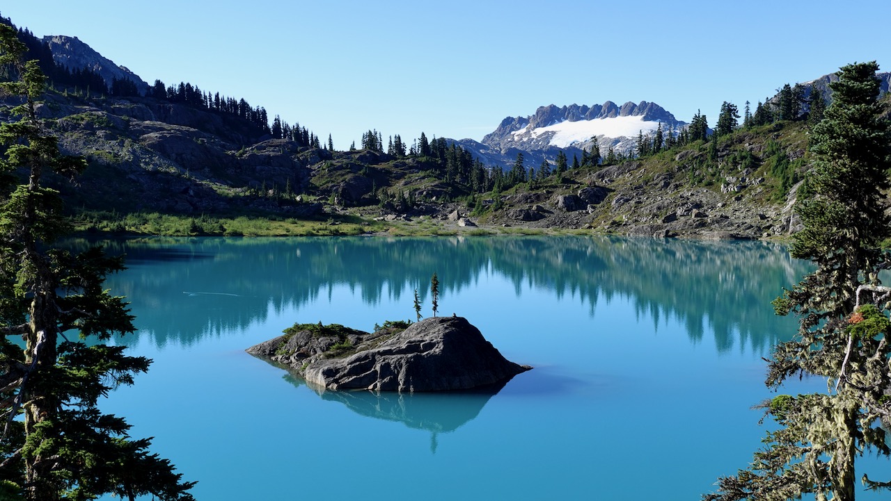
Trip report by BestHike editor Rick McCharles
“Time to roll out every superlative and accolade …
Cream Lake is breathtaking in every season … a scenic highlight of Vancouver Island, for that matter British Columbia!”
Phillip Stone – Exploring Strathcona Park guidebook

The Bedwell Lakes trails are some of the best in Strathcona Provincial Park, Vancouver Island.

The up-and-back Bedwell Lake Trail:

If you get this far, definitely continue to Cream Lake. It’s an extra 4.8km one way, tougher hiking.

Full Strathcona Park map (PDF)
CAUTION – A hiker died here in 2015, Anders Jason Newman. He slipped and fell from height somewhere above the lakes.
Click PLAY or watch a short video of my September hike on YouTube.
Cycled to the Bedwell trailhead, walking the last 3km as Jim Mitchell Lake road is steep!
Arriving late in the day, I ended up setting up my tent off trail short of the first campground.

Here’s the lovely Baby Bedwell campground I missed the previous day.

I continued up to Bedwell Lake campground looking for the sign to Cream Lake. There was none in 2020.
Take the path towards the fancy pit toilet and keep going.


Here’s Bedwell Lake looking down from above.

The trail to Bedwell I’d call moderate difficulty. The route to Cream more challenging.

There’s some route finding, as well, before reaching Little Jim Lake.

Once above Little Jim Lake on a hot day, I felt I was in California’s Sierra Nevadas, not the Pacific N.W.

There’s some scrambling. Granite. Gullies. But very little exposure.


Up here the wildflowers were in better shape than below. On the other hand, mosquitoes!

My first view of Cream Lake made it obvious why this hike is so popular. The colour is otherworldly.
Apparently you can see Della Falls from here too.

There’s no official campground. I set up my tent with a bit of wind protection.

Cream is base camp for those climbing Mt Septimus.

In snow or rain there are a couple of protected spots under a huge boulder.

Before dinner I scrambled up on to the approach to Septimus.


Early next morning I attempted to circumambulate the lake. Did not make it.


But the views were fantastic.
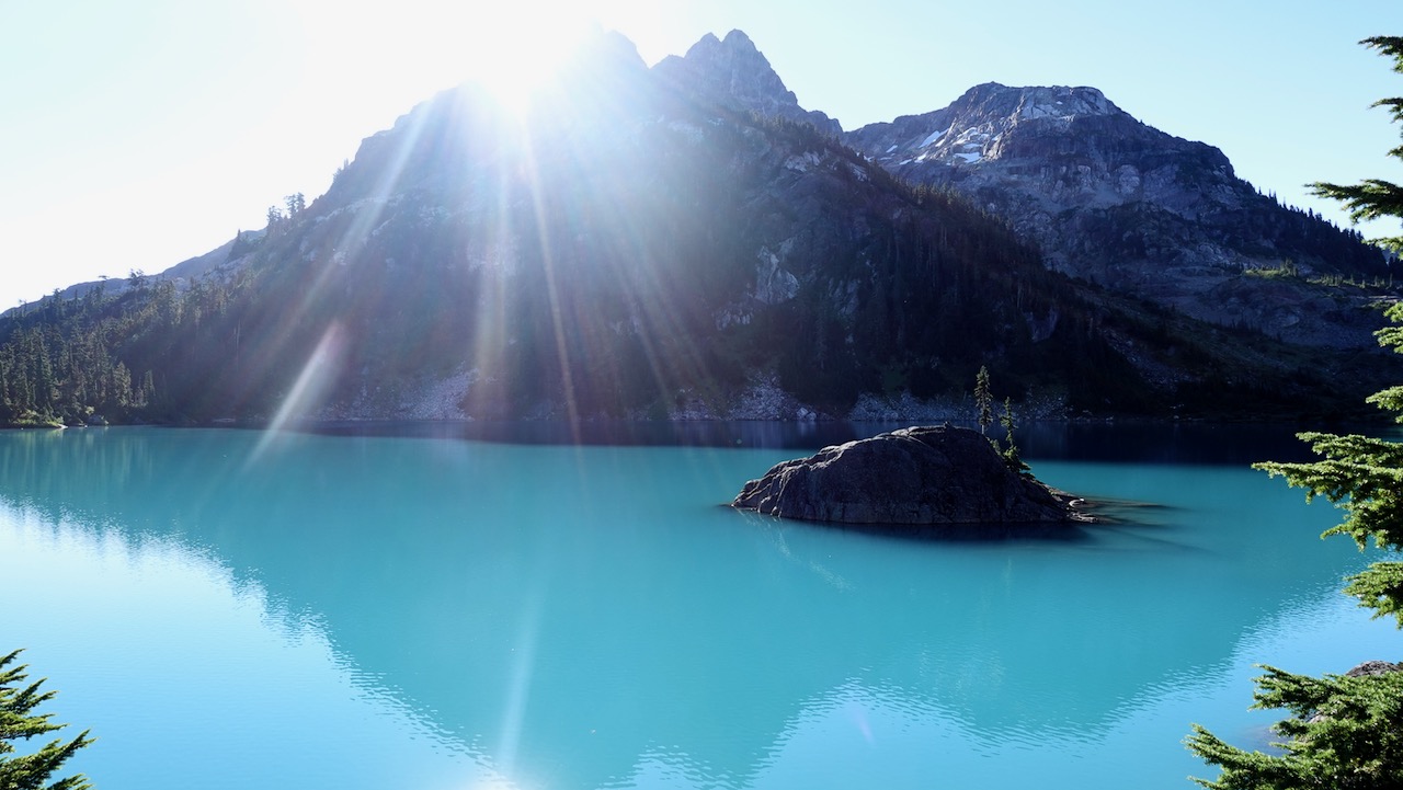
In the afternoon, the only two other hikers that night and myself decided to scramble Septimus as high as we could safely without mountaineering gear.
We knew it was possible but difficult to hike to the top without climbing equipment.


We eventually turned back due to crevasses in the ice.


For fun I tried down climbing the mountain rather than the scree. Nope. That did not work. I got cliffed out.

On a day like this I’d rank Bedwell / Cream Lake the BEST HIKE in Strathcona Provincial Park.
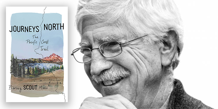
In Journeys North, legendary trail angel, thru hiker, and former PCTA board chair Scout spins compelling tales of hikers on the Pacific Crest Trail in 2007 as they walk from Mexico to Canada.
That year terrible snow storms rocked the Canadian border starting the last days in September.
Barney (Scout) Mann hiked with wife Sandy (Frodo) Mann, and recounts fascinating stories of others they traveled alongside that season.
For me, Blazer was the most interesting.
The book is unusual. Not your standard step-by-step trail journal.
Instead the time line jumps forward and back along the trail, using PCT anecdotes to illustrate bigger life lessons.
If asked to recommend just one book on the PCT, Journeys North would be it. The best starting point for a hiker considering it.
Other excellent and inspiring reads include:

Barney Scout Mann has hiked the Appalachian, Pacific Crest, and Continental Divide Trails. He has been board chair of the Pacific Crest Trail Association and is president of the Partnership for the National Trails System. Mann has been recognized with a Lowell Thomas Journalism Award and is the coauthor of The Pacific Crest Trail: Exploring America’s Wilderness Trail and author of The Continental Divide Trail: Exploring America’s Ridgeline Trail. He and his wife, Sandy, live in San Diego and have hosted more than 7,000 PCT hikers. Visit him online at BarneyScoutMann.com.

Trip report by BestHike editor Rick McCharles

Click PLAY or watch a short video on YouTube.
See how poorly my own video compares with that one.
Click PLAY or watch it on YouTube.
Easy access from Campbell River on Vancouver Island.

The up-and-back Elk River trail to Landslide Lake is one of the best hikes in Canada.
This is classic temperate rain forest. Old growth following the Elk River.
I got to the trailhead late in the afternoon early September.
Made the decision to hike only as far as the Butterwort campground (6km) rather than the more popular Upper Gravel Bar campground (9km).


The two campgrounds are literally gravel bars. Nothing fancy.

Next morning I headed on towards the Upper Gravel Bar campground.


In 2020 the old pit toilets were being replaced. Temporary tent toilets in place.


Both campgrounds offer a chance to protect your food from bears. I also had cheeky rodents appear twice at dinner while camping in the Elk River.

The highlight of the Elk River Trail is the last 1km scramble up to Landslide Lake.


The colours are gorgeous.


Landslide Lake was changed to the current form in 1946 by Canada’s largest recorded earthquake on land, measuring 7.2, centred in the nearby Forbidden Plateau area. The North Tower of Mount Colonel Foster sheared off, much of it collapsing into the lake.

related – MB Guiding – Elk River Trail