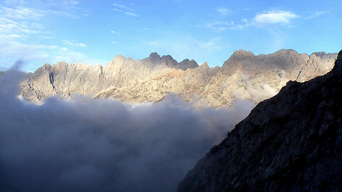
Huaraz is a trekkers’ paradise. On one side of the valley you have the White Mountains (Cordillera Blanca). On the other side, the Black Mountains (Cordillera Negra). We hike the White Mountains, mountain bike the Black Mountains.
And only a short distance away is the remote, high Cordillera Huayhuash, ideal for hard core trekkers.
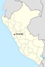
Huaraz is located in the central-northern part of the country at an altitude of 3052 m (10,013 feet), some 420 km north of Lima. Huaraz sits in the agriculturally important Callejón de Huaylas valley, at the foot of the Cordillera Blanca mountain range, which includes Huascarán, the highest mountain in Peru at 6768 m (22,204 feet). …
On May 31, 1970 the Ancash earthquake destroyed much of Huaraz, killing 10,000 people. Almost nothing was left of the old city with its narrow streets and big adobe casonas roofed with tiles. The main square was the only major structure that survived the earthquake so the city was rebuilt around it. …
Huaraz is connected to the rest of the country through the Panamerican Highway (187 km north of Lima) and can be reached from Lima … in seven hours. …
Huascarán National Park is a popular destination for tourism and trekking. Huaraz is a frequent base for expeditions to the Cordillera Blanca and Huayhuash. …
The population of the greater area is over 100,000 though you’d never guess it was that big. Huarez retains the feeling of a remote mountain town.
More interesting photos tagged Huaraz, Peru.
One of the best things about Huaraz is that there’s no airport. Regular Peruvian tourists all fly to Cusco, leaving this part of the Andes to us.
Our favourite hike hikes out of Huarez are:
• Huayhuash Circuit
• Alpamayo
• Santa Cruz Trek
There are a half dozen more, just as good. And many, many more great treks in the Central Andes.
Best months are May through September, the “Andean Winter”. Acclimatization to altitude is your main concern here. These treks are high.
Check our Central Andes information page.

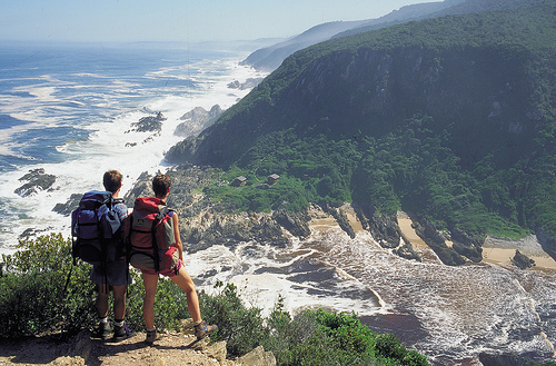
 South Africa Tourism


 Huayhuash
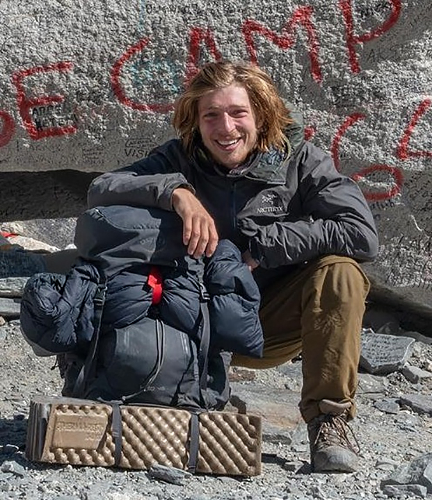
 besthikers – Cafe Andino, Huaraz – Alpamayo Circuit 2004


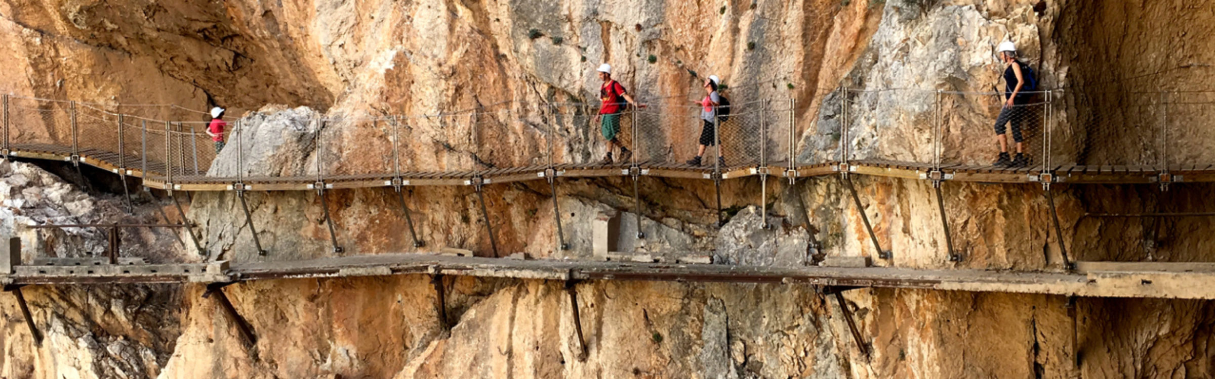

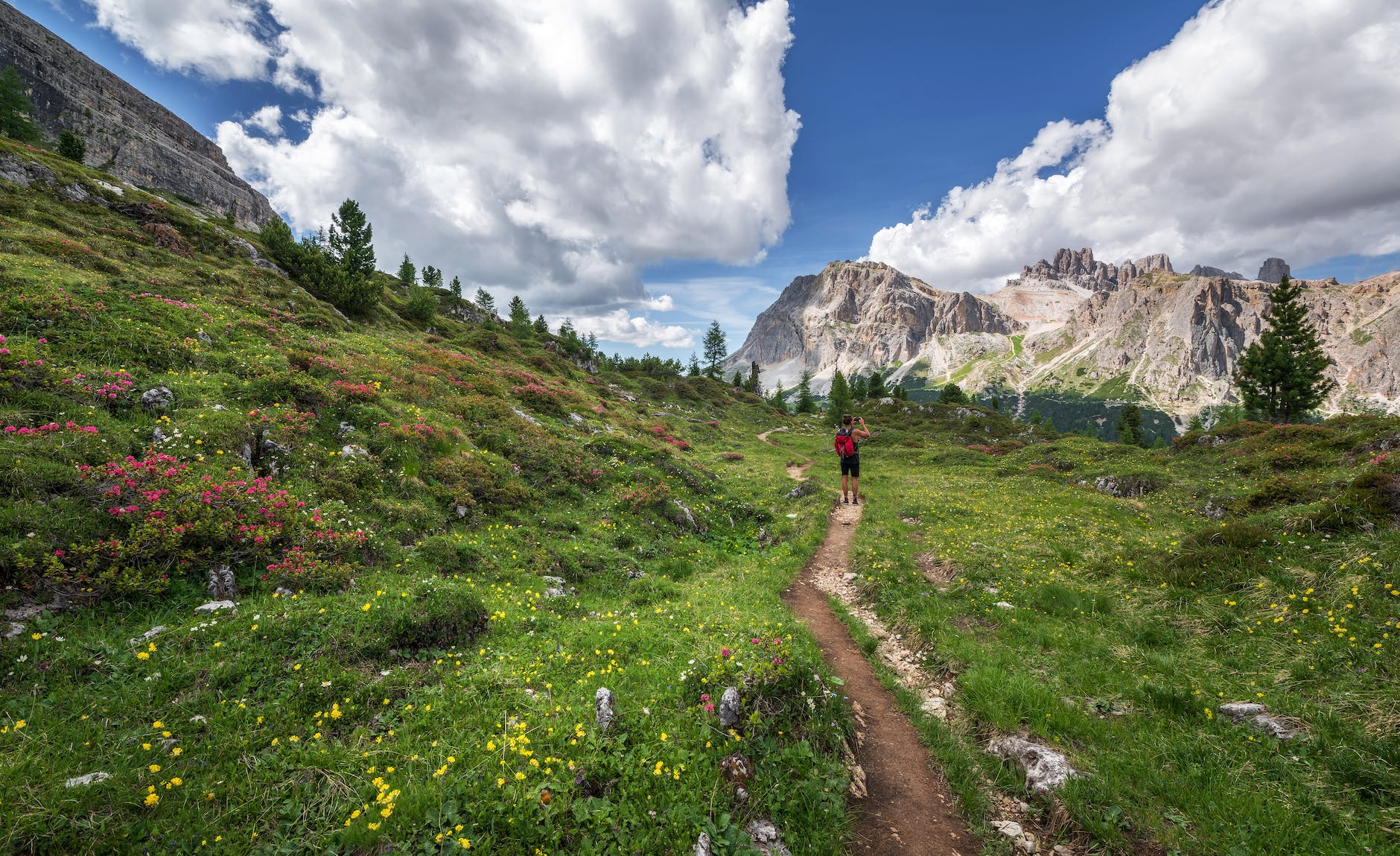
 Caminito del Rey information page.