Contents
Table of Contents
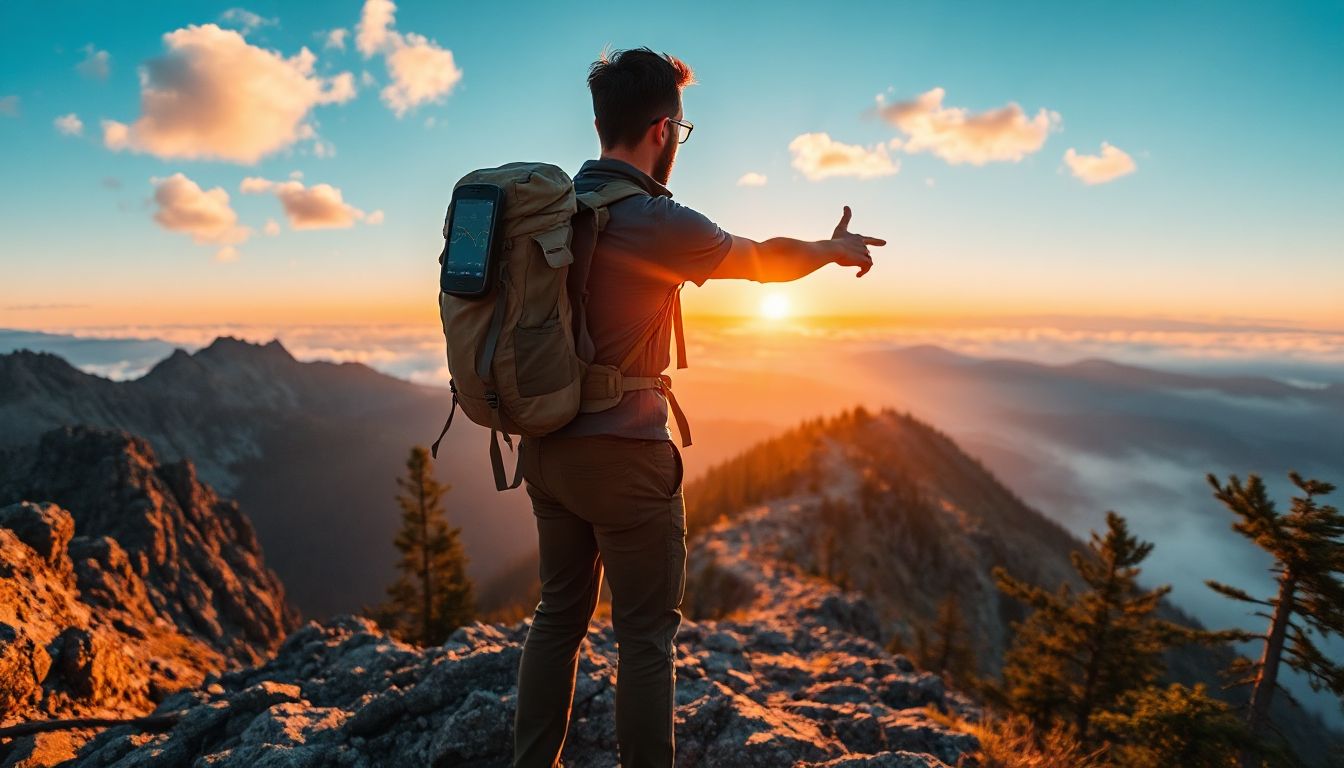
Imagine you’re deep in the woods. The sun dips low. Your map feels useless in the fading light. Panic sets in as shadows grow long. Then, you pull out your GPS. It lights up with your exact spot. Relief washes over you. You find the path back to camp. This simple tool turns danger into just another story to tell.
Hiking draws more people each year. The Outdoor Industry Association reports a rise of over 6% in participation annually. Folks seek adventure in nature. Yet, trails can trick even pros. GPS steps in as your reliable guide. It boosts safety without killing the fun. This guide covers picking the right devices. You’ll learn how to use them well. Plus, get tips to navigate like a champ. Stick around to hike smarter.
Why GPS is Essential for Hikers
The Benefits of GPS Over Traditional Maps
GPS beats paper maps in key ways. It tracks your spot in real time. You get height info and custom paths. This cuts risks on wild trails. Think about remote spots with no signs. GPS shows where you are, fast. In tough spots, it can save lives.
Paper maps stay flat and old. They lack live updates. GPS pulls data from satellites. Accuracy has jumped in recent years. Older units missed by yards. Now, they hit within feet. This change helps hikers trust their steps.
Always back up GPS with a map and compass. Tech fails sometimes. Rain or dead batteries happen. Keep those basics in your pack. They work when screens go dark.
Common Hiking Scenarios Where GPS Shines
GPS proves its worth in many cases. Take off-trail hikes. You wander to a hidden view. GPS marks your start point. No worry about getting turned around. Multi-day trips test it too. Log campsites and water spots. Weather hits? GPS plots a safe detour.
Look at the Appalachian Trail. Thru-hikers use GPS apps a lot. They mark waypoints for rest stops. One hiker shared how it helped during a storm. He rerouted and stayed dry. Apps like these make long hauls easier.
Pre-load maps for spotty cell areas. Many trails lack signal. Download before you go. This keeps navigation smooth. The U.S. Forest Service notes more trail mishaps from lost signals. GPS offline mode fixes that.
Trail incidents rise in backcountry zones. Reports show confusion leads to calls for help. GPS drops those odds. It gives clear bearings and distances. Hikers return home safer. Pair it with skills for best results.
GPS adds fun too. Track your pace. See how far you climbed. It turns hikes into personal wins.
Choosing the Best GPS Devices for Hiking
Handheld GPS Units: Top Picks and Features
Handheld units stand tough against rough use. The Garmin GPSMAP series leads the pack. These devices handle drops and water. Battery life stretches to 20 hours or more. That’s key for long outings.
Top features include topo maps built in. You see trails and hills right away. SOS buttons link to help in emergencies. Press it, and pros get your location. No phone needed.
Pick one with 16GB storage at least. This holds offline maps for big areas. REI reviews praise the GPSMAP 66i for its range. It works in deep woods where phones fail. Battery swaps keep you going.
Backpacker Magazine tested several. The Garmin eTrex scores high for basics. It’s light and cheap. Add solar chargers for endless power.
| Device | Battery Life | Storage | Key Feature | Price Range |
|---|---|---|---|---|
| No products found. | 16-20 hours | 16GB | SOS satellite | $400-500 |
| No products found. | 25 hours | 8GB | Topo maps | $250-300 |
| No products found. | 18 hours | 32GB | Rugged build | $200-250 |
This table helps compare fast. Choose based on your hike length.
Smartphone Apps vs. Dedicated Devices
Apps offer easy entry to GPS hiking. Gaia GPS packs detailed maps. AllTrails shares user routes. Millions use it for trail finds. Phones link to cameras and lights too.
Cost stays low. Most apps run free or cheap. Update them anytime. But batteries drain quick on screens. A full day hike might kill your phone.
Dedicated devices win on power. They last weeks on AA batteries. No signal? They still work. Apps need cells for live shares.
AllTrails shines for beginners. Pick a path, follow arrows. Community tips add value. Yet, for remote spots, grab a standalone unit.
Tip: Pack a power bank. It juices your phone mid-hike. Choose 10,000mAh for safety.
Wearables and Hybrid Options
Smartwatches blend nav with fitness. The Garmin Fenix tracks heart rate and paths. It’s light for fast packs. See your route on a small screen. No fumbling with extras.
Pros include alerts for turns. Vibrations guide you. Ultralight hikers love the slim fit. Pair it with a phone for more maps.
Calibrate the altimeter first. Stand still in open air. It reads height right. Wrong data leads to bad climbs.
Hybrids like the Suunto 9 mix watch and GPS. Battery hits 120 hours in save mode. REI calls it a top pick for multi-days.
| Type | Pros | Cons | Best For |
|---|---|---|---|
| Apps | Cheap, easy | Battery drain | Short hikes |
| Handhelds | Long life, tough | Bulkier | Remote treks |
| Wearables | Light, multi-use | Smaller screen | Daily adventures |
These options fit different needs. Test before buying.
Types of GPS Devices for Hiking
There are three main types of GPS tools you can use on the trail:
-
Handheld GPS Devices
Handheld GPS units are the classic choice for serious hikers and backpackers. Designed to withstand tough conditions, they offer long battery life, durable builds, and high accuracy.
- Examples: Garmin eTrex 22x, Satmap Active 20, Garmin inReach Mini 2 (with satellite messaging).
- Pros: Rugged, long battery life, accurate positioning.
- Cons: Bulkier than wearables, some models lack full maps.
Garmin eTrex 22x
No products found.
Garmin inReach Mini 2
No products found.
-
GPS Watches
These wearable devices bring GPS technology to your wrist. Popular with hikers, runners, and mountaineers, GPS watches are durable, lightweight, and packed with features.
- Example: Garmin Fenix 7 Pro GPS.
- Pros: Convenient, portable, advanced features.
- Cons: Expensive, limited screen size, some models lack topo maps.
Garmin Fenix 7 Pro GPS
No products found.
-
Smartphone GPS
Modern smartphones come with built-in GPS, and with the right hiking apps they can serve as excellent navigation tools.
- Pros: Accessible, easy to use, compatible with digital maps.
- Cons: Limited battery life, vulnerable to weather and damage.
- Tip: Always carry a power bank and a rugged case if relying on your phone in the mountains.
Key Features to Look for in a Hiking GPS
When choosing the best GPS for hiking, consider the following features:
- Accuracy: Devices that connect to multiple satellite systems (GPS, GLONASS, Galileo) perform better in challenging terrain.
- Battery Life: Look for long-lasting or field-replaceable batteries. Solar-assisted charging can help but shouldn’t be your only power source.
- Durability: Waterproof and shockproof designs are best for year-round use.
- Usability: Large, easy-to-read screens and glove-friendly buttons are ideal for winter hiking.
- Weight: Lightweight designs suit ultralight hikers and backpackers.
- Extra Features: Barometer, altimeter, compass, geocaching, and satellite messaging can enhance your safety and experience.
Setting Up Your GPS for a Successful Hike
Preparing Maps and Routes Before You Go
Start with good maps. Download topo versions for your area. They show hills and streams clear. Use Garmin BaseCamp software. It’s free and simple.
Plot your route there. Mark the trailhead first. Add camps and water points as POIs. Save as GPX file. Load it to your device.
This prep saves time on trail. No guessing turns. Custom paths avoid crowds. For a 10-mile loop, input each mile marker.
Apps like Gaia let you do this on phone. Draw lines over satellite views. Share with hike buddies.
Calibrating and Testing Your Device
Set up takes minutes. Charge fully. Turn on in open space. Wait for satellite lock. Green bars mean it’s ready.
Check battery now. Test the screen brightness. Dim it to save juice. Walk a short loop. See if it tracks true.
Do this a day before. Fix glitches early. Garmin guides stress open sky for best start. Trees block signals.
Familiarize with buttons. Practice zooming maps. Know the menu fast. This builds confidence.
Integrating GPS with Other Gear
Link GPS to your compass. Use it for bearings when signals dip. Altimeters pair well too. They measure climbs spot on.
Log hikes on Strava. Upload tracks after. See your speed and heart data. It motivates better runs.
Enable recording from the start. It saves your path. Review later to tweak routes. Add notes on tough spots.
Pack it all in a waterproof bag. This keeps gear dry in rain.
Reading GPS Data on the Trail
GPS shows key info. Coordinates tell your spot. Bearings point direction. ETA guesses finish time.
Follow the arrow to goals. Breadcrumb trails mark your way back. If lost, trace those dots.
Practice reading fast. On a clear day, note how numbers change. This skill grows with use.
Use voice cues if your device has them. They free your eyes for the path.
Handling Common Challenges Like Signal Loss
Hills and trees block signals. Step to open spots. Wait a bit for lock.
Save battery with low-power mode. Turn off extras like Bluetooth. Carry spare AAs.
The National Park Service warns of dead zones. Plan routes with known coverage. Apps show signal maps.
Cloud cover rarely hurts. But deep canyons do. Climb higher if needed.
Safety Protocols with GPS
Share your spot live. Garmin inReach sends texts via satellite. Buddies track you.
Set alerts for off-path moves. It pings if you stray. This catches errors quick.
In rescues, these tools shine. Reports show faster finds with GPS data. Always tell someone your plan.
Carry a whistle too. Combine tech with old ways.
- Check weather before start.
- Hydrate often.
- Rest at waypoints.
These steps keep hikes safe.
Advanced GPS Techniques for Experienced Hikers
Build GPX files on CalTopo. Draw lines over real terrain. Add elevation notes.
Factor in climbs. Steep gains tire you fast. Aim for steady paces.
Off-trail? Use topo layers. Spot ridges and valleys. Mark safe returns.
Test new paths on short trips. Adjust based on feel.
Integrating GPS with Weather and Terrain Data
Overlay forecasts on maps. See rain ahead? Pick dry routes.
Satellite devices pull live updates. Reroute from storms easy.
Terrain data shows mud risks. Avoid wet zones after rain.
This mix makes smart calls.
Tracking and Analysing Your Hikes Post-Adventure
Upload to Strava. Heatmaps show hot trails. Find new spots.
Check elevation graphs. See where you slowed. Train those hills.
Share logs with groups. Get tips from others.
Review builds skills over time.
Conclusion
GPS transforms hikes. It adds safety and joy. Top picks like Garmin units endure tough trails. Apps such as AllTrails make nav simple.
Key steps include offline maps and pre-tests. Blend tech with map skills. This covers all bases.
Start small. Try a local trail. Build your know-how. Share your wins in the comments. What’s your go-to GPS tool?